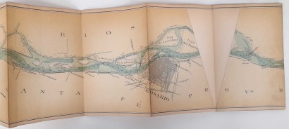

Plano de navegacion del Rio Paranà desde Esquina hasta La Desembocadura
Features
Author: M.O.P. Comision del Paranà inferior
Publisher: s.e.
Year of publication: 1908
Product Condition:
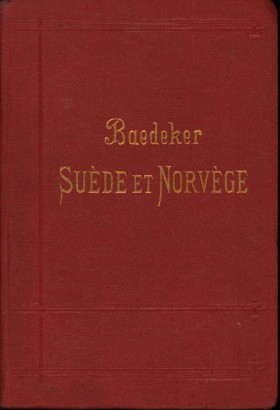
Rather worn half-leather binding with gilt title on the spine and titles on the front plate: serious abrasions on the upper edges and corners; dust spots and faded color to spots on the front and rear plate, especially on the outer edges. Stamp on the front pastedown. Dark stains on the front cover and title page. The map contained inside is in good condition: slightly burnished, folded and glued to canvas. It is preceded by the title page and a Referencias page, where we find the legend, and followed by three pages reporting the geographical coordinates and distances in kilometres. Text in Spanish.
Pages: s.n.
Format: Eighth
Dimensions (cm):
Height: 21
Width: 720
Description
The binding contains a folded map 720 cm long which represents the complete course of the Paranà river, with useful information for its navigation. A peculiarity of the map is that in every panel there are angled sections which, if cut out, would allow the map to be joined with geographical precision. On the title page: Republica Argentina, Ministerio de obras publicas. Direccion General de Obras Hydraulicas, Comision del Parana inferior. Scale 1:100,000.
Product availability
Immediate availability
Ready for delivery within 2 working days from ordering the product.


